Geophysical Exploration & Prospecting
Squadrone Infra & Mining. Pvt. Ltd. - 1st to fly Autonomous drone-based Magnetometer in India for Geophysical Survey for Mineral prospecting and Exploration
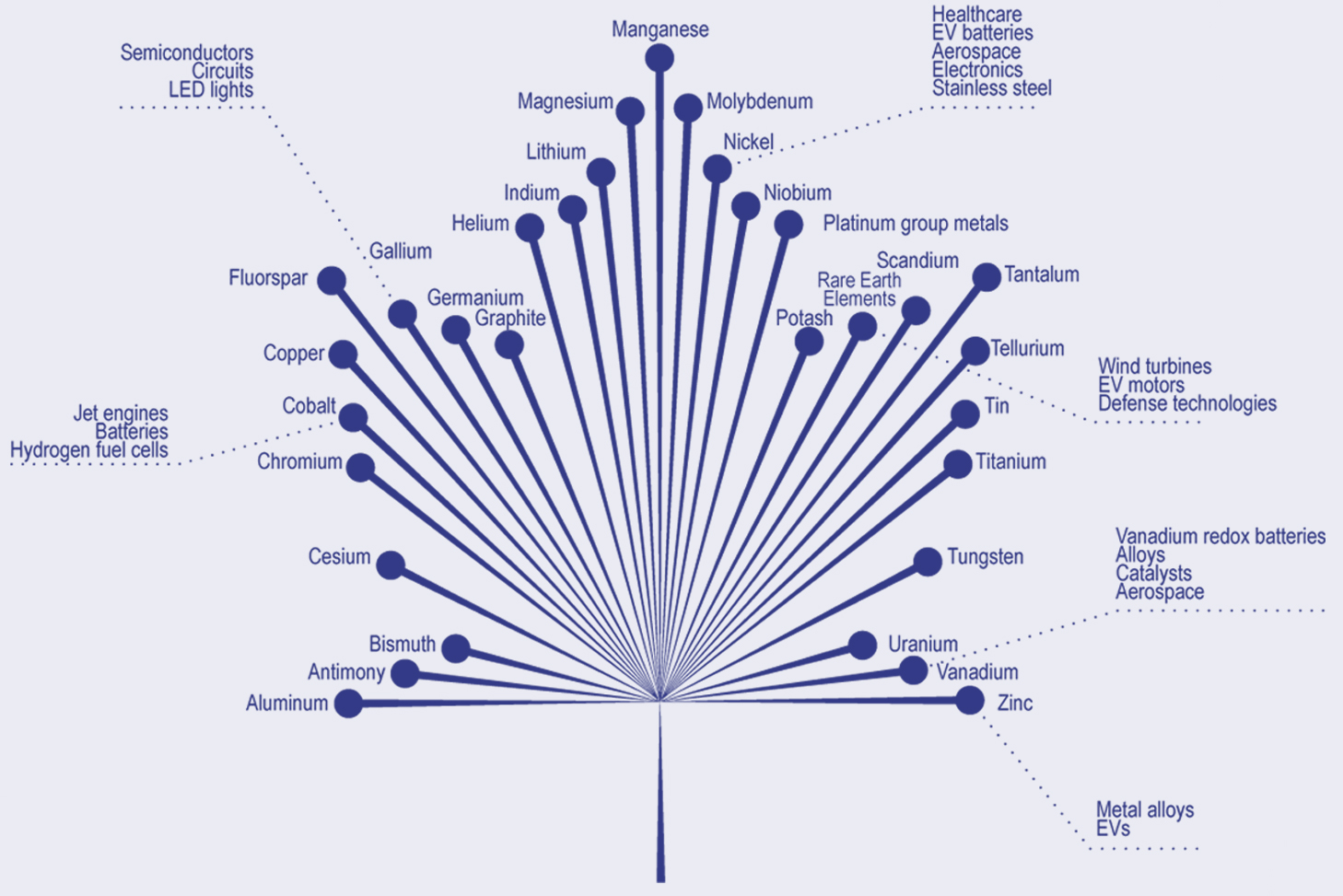
Critical Mineral Exploration
Drone-based magnetometers are valuable for critical mineral exploration. They detect magnetic anomalies caused by mineral deposits, aiding remote sensing.
Advantages of GPR

Time-efficient
Acquire data faster compared to traditional methods

Precision
Drone’s precise positioning and range-finder system result in high accuracy measurements

Cost efficient
UAV surveys are more cost-effective compared to manned flights

Increased staff safety
The integrated system can be used at unsafe and hazardous environment with compromising the safety of staff

Automated flight
Drone ensures higher accuracy in following survey lines thanks to the inbuilt GPS automated flight mode.

Accessibility
Location not reachable by foot can be reached by drone
Mineral Prospecting/Exploration
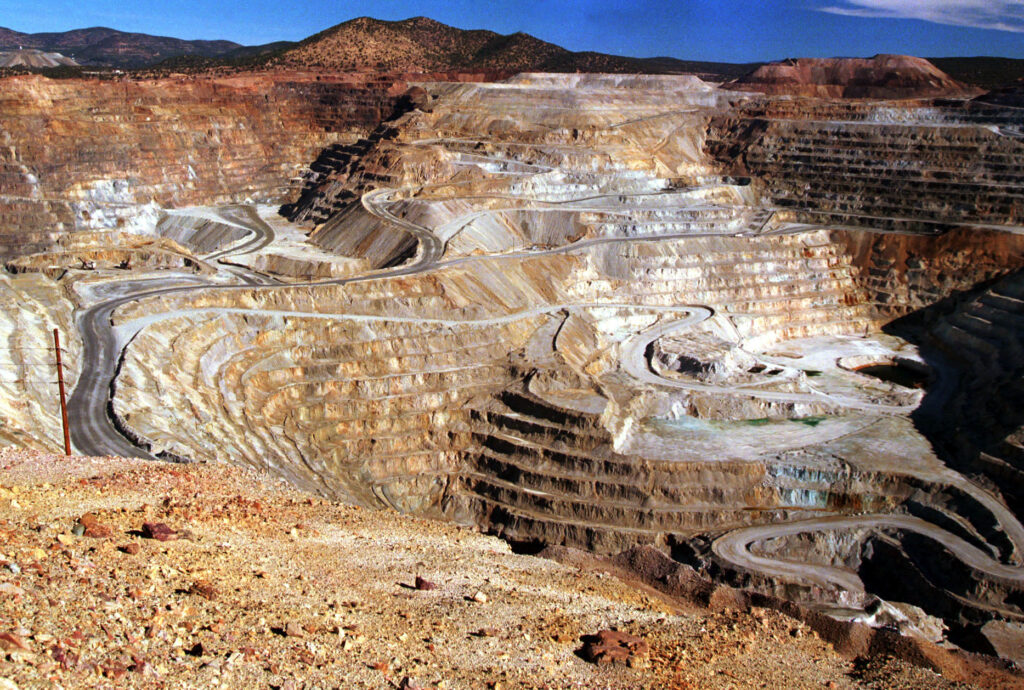
Our drone-based magnetometer technology provides a 10 times faster, more accurate, and cost-effective mineral exploration process while promoting sustainable practices in the critical minerals supply chain. With the ability to detect anomalies in the earth's magnetic field, we can identify mineral deposits up to 600-800m below sea level without disturbing the ecosystem. Specifically establishing mineralized zones & exploration targets. Prospect V/s Reject.
- Orthomosaic Map
- Digital Terrain Model (DTM)
- Digital Surface Model (DSM)
- Contour Maps
- Orthomosaic Map
- Digital Terrain Model (DTM)
- Digital Surface Model (DSM)
- Contour Maps
Drill & blast optimization
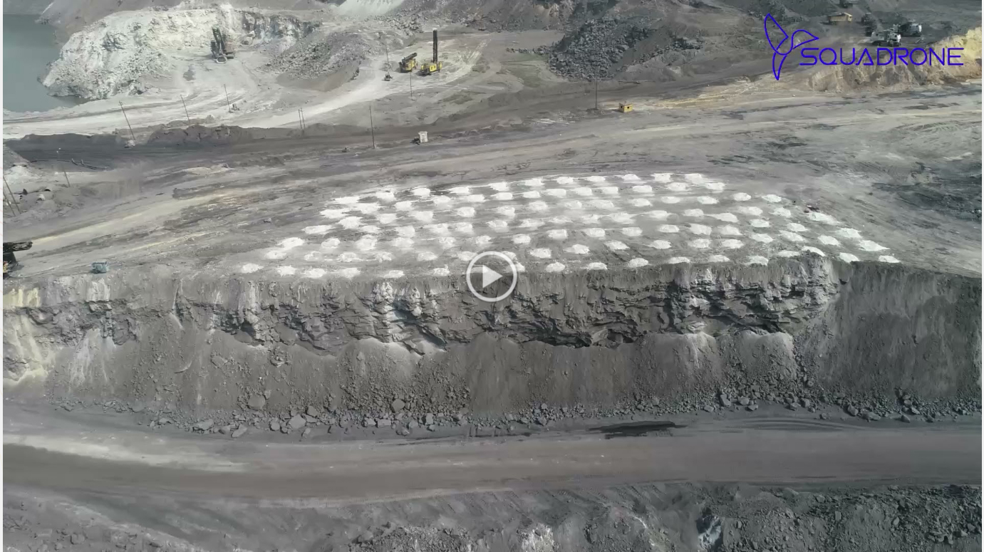
Integrated drone technology with AI & ML Technology made drill and blast optimization visually interpret the data as well as make informed decisions based on the study analysis. Drones create high-resolution 3D maps for precise planning of drilling parameters for efficient fragmentation and reduced vibration. Drones equipped with sensors and cameras collect real-time data on blast results for analysis using AI and ML algorithms to optimize future parameters for improved safety, efficiency, and cost-effectiveness.
01
Pre-blast
drones can create high-resolution 3D maps of the terrain and geological features, allowing for accurate and detailed planning of drill hole location, depth, and angle. This can improve fragmentation, reduce vibration, and minimize overbreak and underbreak.
01
Pre-blast
drones can create high-resolution 3D maps of the terrain and geological features, allowing for accurate and detailed planning of drill hole location, depth, and angle. This can improve fragmentation, reduce vibration, and minimize overbreak and underbreak.

Drill & blast optimization
Integrated drone technology with AI & ML Technology made drill and blast optimization visually interpret the data as well as make informed decisions based on the study analysis. Drones create high-resolution 3D maps for precise planning of drilling parameters for efficient fragmentation and reduced vibration. Drones equipped with sensors and cameras collect real-time data on blast results for analysis using AI and ML algorithms to optimize future parameters for improved safety, efficiency, and cost-effectiveness.

01
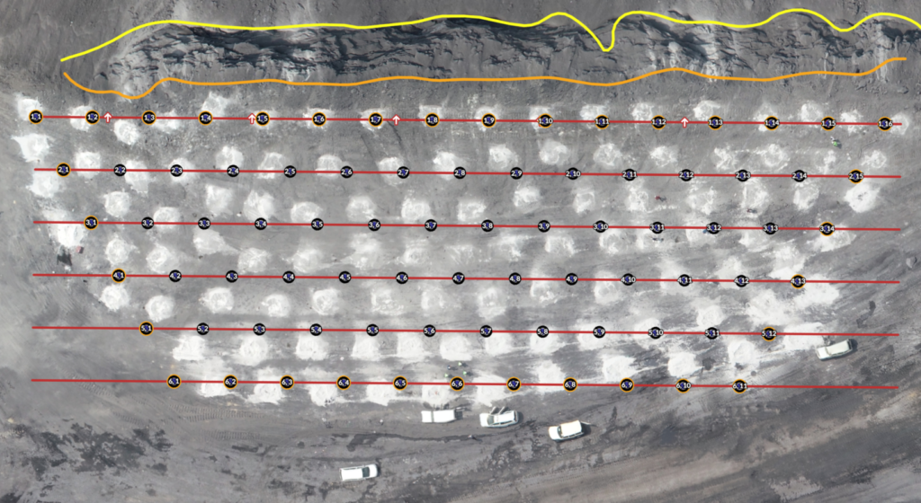
Pre-blast
drones can create high-resolution 3D maps of the terrain and geological features, allowing for accurate and detailed planning of drill hole location, depth, and angle. This can improve fragmentation, reduce vibration, and minimize overbreak and underbreak.

01
Pre-blast
drones can create high-resolution 3D maps of the terrain and geological features, allowing for accurate and detailed planning of drill hole location, depth, and angle. This can improve fragmentation, reduce vibration, and minimize overbreak and underbreak.
SMART ESG IN MINING
Smart ESG in mining entails eco-friendly practices (sustainable mining, energy efficiency), social responsibility (community engagement, fair labor), governance ethics (diverse boards, compliance), technology adoption (digital solutions, tailings management), and transparent reporting for sustainability.
 Design & Prototype
-
Sustainable Mining Practices
-
Energy Efficiency
-
Water Management
-
Biodiversity Conservation
 Development & Quality Assurance
-
Sustainable Mining Practices
-
Energy Efficiency
-
Water Management
-
Biodiversity Conservation
 Deployment & Support
-
Sustainable Mining Practices
-
Energy Efficiency
-
Water Management
-
Biodiversity Conservation
Drones in Agriculture Management
Integrated drone technology with AI & ML Technology made drill and blast optimization visually interpret the data as well as make informed decisions based on the study analysis. Drones create high-resolution 3D maps for precise planning of drilling parameters for efficient fragmentation and reduced vibration. Drones equipped with sensors and cameras collect real-time data on blast results for analysis using AI and ML algorithms to optimize future parameters for improved safety, efficiency, and cost-effectiveness.
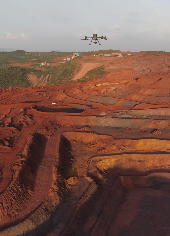
Post-blast
drones equipped with sensors and cameras can be used to collect real-time data on blast results, such as fragmentation, muck pile shape and size, and damage to surrounding infrastructure.
Post-blast
drones equipped with sensors and cameras can be used to collect real-time data on blast results, such as fragmentation, muck pile shape and size, and damage to surrounding infrastructure.
Post-blast
drones equipped with sensors and cameras can be used to collect real-time data on blast results, such as fragmentation, muck pile shape and size, and damage to surrounding infrastructure.
Post-blast
drones equipped with sensors and cameras can be used to collect real-time data on blast results, such as fragmentation, muck pile shape and size, and damage to surrounding infrastructure.
Post-blast
drones equipped with sensors and cameras can be used to collect real-time data on blast results, such as fragmentation, muck pile shape and size, and damage to surrounding infrastructure.
Drones in Agriculture Management
Integrated drone technology with AI & ML Technology made drill and blast optimization visually interpret the data as well as make informed decisions based on the study analysis. Drones create high-resolution 3D maps for precise planning of drilling parameters for efficient fragmentation and reduced vibration. Drones equipped with sensors and cameras collect real-time data on blast results for analysis using AI and ML algorithms to optimize future parameters for improved safety, efficiency, and cost-effectiveness.
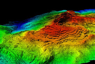
Geophysical Exploration & Prospecting
Streamline Your Operations with Powerful GIS Solutions: Unlocking the Power of Spatial Data

Geophysical Exploration & Prospecting
Streamline Your Operations with Powerful GIS Solutions: Unlocking the Power of Spatial Data

Geophysical Exploration & Prospecting
Streamline Your Operations with Powerful GIS Solutions: Unlocking the Power of Spatial Data

Geophysical Exploration & Prospecting
Streamline Your Operations with Powerful GIS Solutions: Unlocking the Power of Spatial Data

