Inspecting bridges, power lines, pipelines, and other critical infrastructure. They provide real-time data, reduce the need for manual inspections, and improve safety by minimizing human exposure in hazardous environments.
Inspection of Underground Tunnels, Roads, Railways, Structures and Pipelines
The advanced capabilities of the Ground Penetrating Radar (GPR) system, can accurately detect underground tunnels, structures, and pipe leakages with high precision and reliability. It can operate in inaccessible areas, providing data that is crucial for efficient tunneling and pipeline management, using its ability to penetrate deep into the earth's strata.
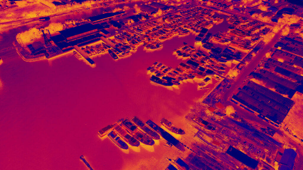
THERMAL IMAGING
Unmanned aerial vehicles (UAVs) equipped with thermal cameras to capture images of an area's surface temperature. Process the data with specialized software to generate a thermal map, analyze data to identify temperature variations, and create a report with findings and recommendations based on thermal imaging data.
UNDERGROUND UTILITY MAPPING
Drones aid in inspection & maintenance of above and below ground structures around metro stations, underground mines, sub stations, etc. ensuring safety & detecting potential issues. For precise underground utility mapping, advanced LiDAR and slam technology to access the inaccessible. Safety & coordination with stakeholders ensure effective drone digitization.
INSPECTION OF OIL AND GAS INDUSTRIES
Drones revolutionize oil and gas industry inspection. They access remote and hazardous areas, capturing high-resolution data through cameras and sensors. This data helps detect equipment issues, leaks, and corrosion. Drones improve safety by reducing the need for human presence in dangerous environments. They also enhance cost-effectiveness and operational efficiency, reducing inspection time and minimizing downtime. Real-time data analysis enables prompt decision-making, ensuring preventive maintenance and optimizing asset performance.